
Vol.43
Quick Facts
Fun meter: Amazing but long
Location: Teror, Gran Canaria
Adventure: Hike
Type: Mountain
Time: 7.85 km + 420 m elevation / 4 hours with lunch
Level of difficulty: Medium
Good for what ages: 7+
Cost: Free
Trail Map: Our Map
Hint: Go up the steep way first so you can get that done with and get a long slow, easier way down.
Overview
We love the Mercadillo de Teror on Sundays. But the old town and market isn’t the only gem.
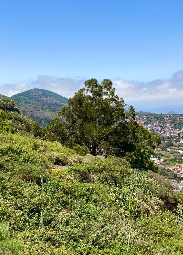
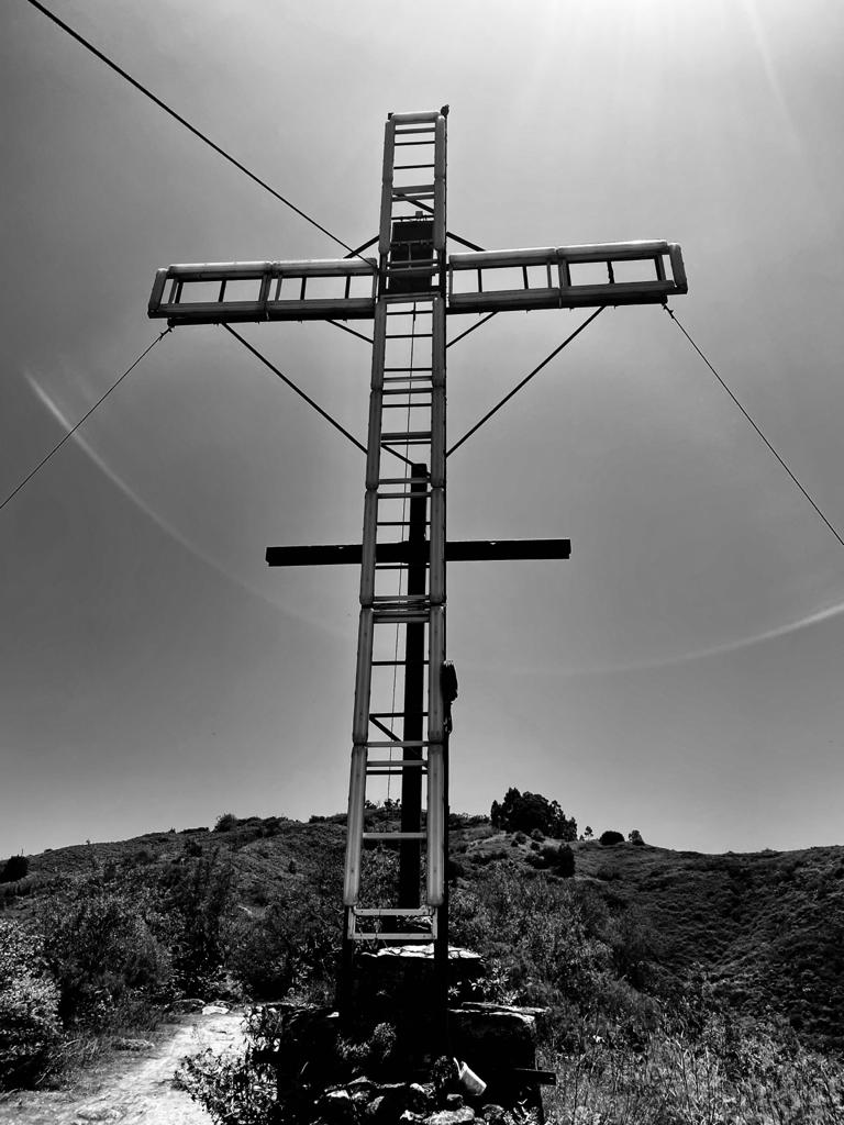
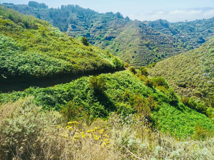
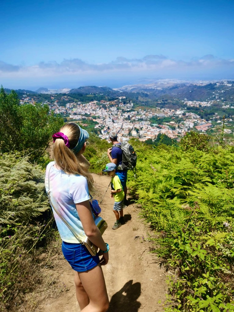
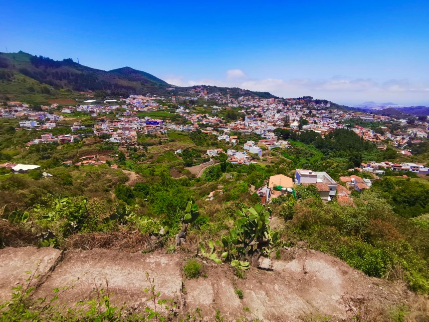
In the hills above the town of Teror are all kinds of ecosystems. Fern forests. Cactus and succulent fields. Eucalyptus groves. We hiked up to the electric christian cross overlooking the town. It wasn’t all that long but it went up and up and up. We climbed 420 metres!!! Crazy right. It looked over the entire village of Teror, the views were amazing. The trail is a loop, which I like better. Never go backwards! My 7 year old brother hikes a lot and had fun but was tired at the end. I am absolutely positive this is a big kid hike only.

How to get there
Teror is a small mountain town about 15 minutes up from the north coast. It is famous for its water, the historic old town and cathedral and the pilgrimage in September. The roads to Teror are pretty short but windy. We parked in a small neighborhood above Teror. You just need to map this using your phone.


Wandering The Town
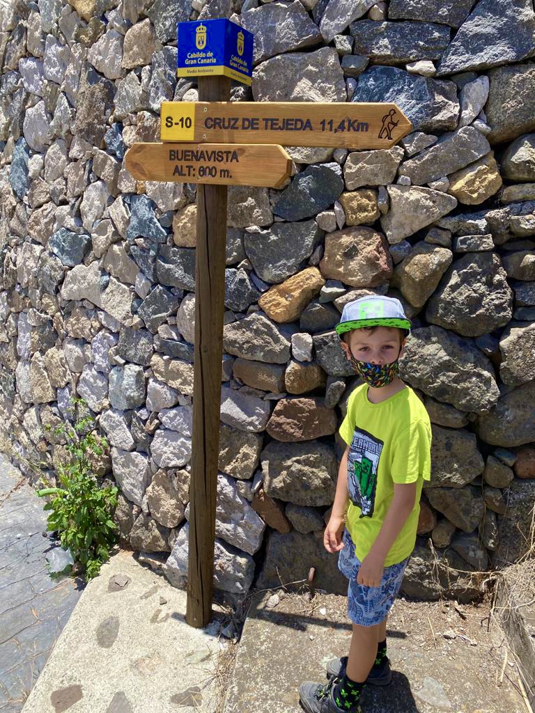
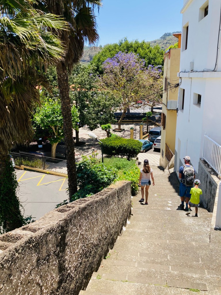
We started off in the town of Teror. The hike is a loop which means you can start going away from your car in one direction and you will end up back at your car coming from another direction. You could go either way, but we decided to take the steep leg first and enjoy a long slow easy walk down. The first part of the hike took about 15 minutes through side streets in town. We went around the houses and it was a very cute little town. Without the map, we would have been totally lost. Make sure to load this up on wikiloc or something similar.
The Loop: Up, Up and Away
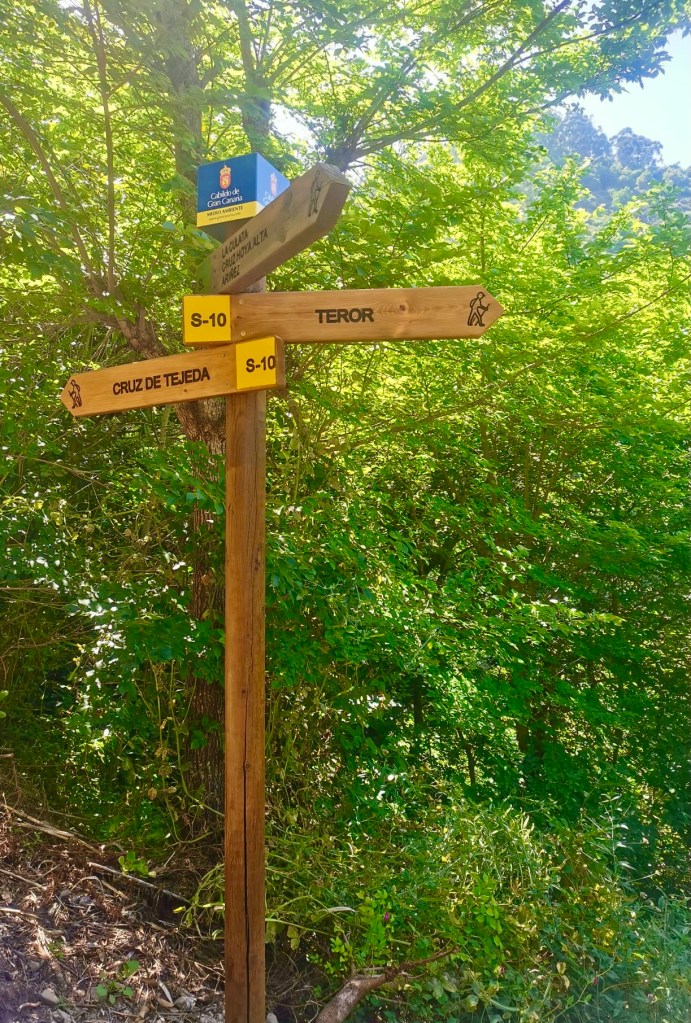
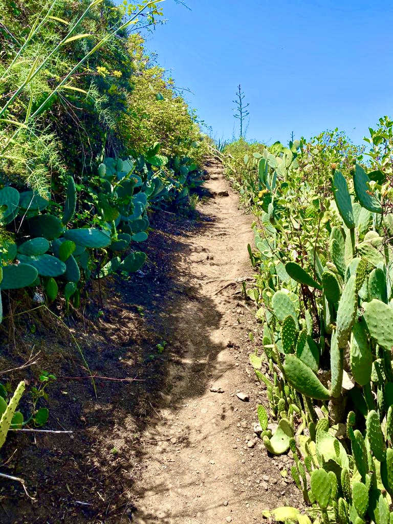
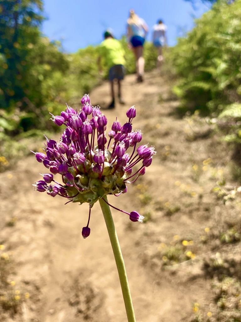
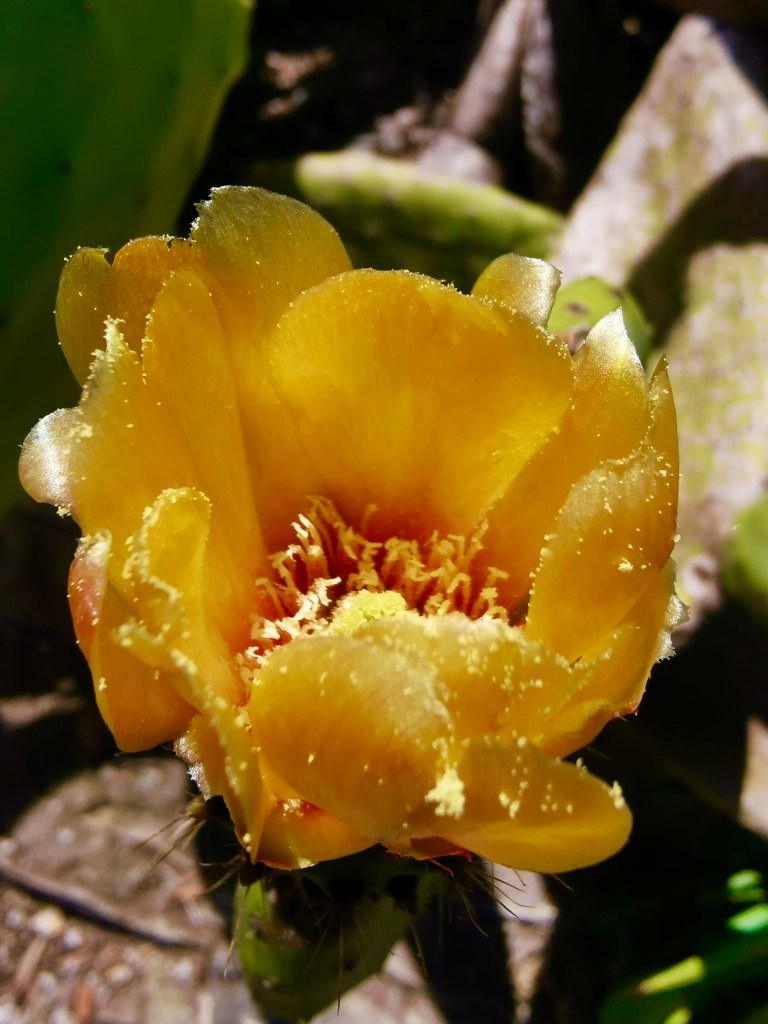
After we exited the town we started up the mountain. We started up by going on the steep part first. We walked up for almost 2 hours with lots and lots and lots and lots of stops. The trail is small country roads at first, then walkways between houses. Many of the houses had fruit trees that hung over the path. The plums were delicious. Most of the trail has blackberries along the side but they were not ripe yet. I bet in august it will be delicious. The trail is marked pbt its easy to get turned around. A few times the trail connects with a major road and you have to walk on it and be careful of traffic. I didn’t enjoy that. Around ⅓ of the way up, we left the roads and houses and it became a dirt trail surrounded by cacti and then trees. The viewpoint is in that eucalyptus grove.

After that it was just a huge amount of climbing. Up, up and……………. Up. After that, I really just wanted to stop and lay down, but we kept going up until we got to the cross. The cross was nearly to the top but sadly we still had to go up. From the cross to the top was another 20 minutes. There are some tricky spots and some steep spots. You need good hiking shoes or this will be frustrating. We kept looking for a nice place to picnic but there really isn’t anywhere ideal. We had it on a huge rock that we all sat at, it was not in the shade but it was ok.


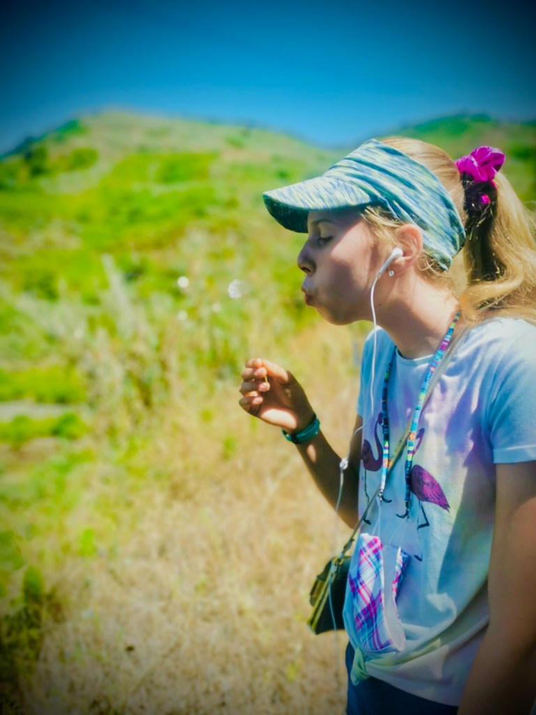
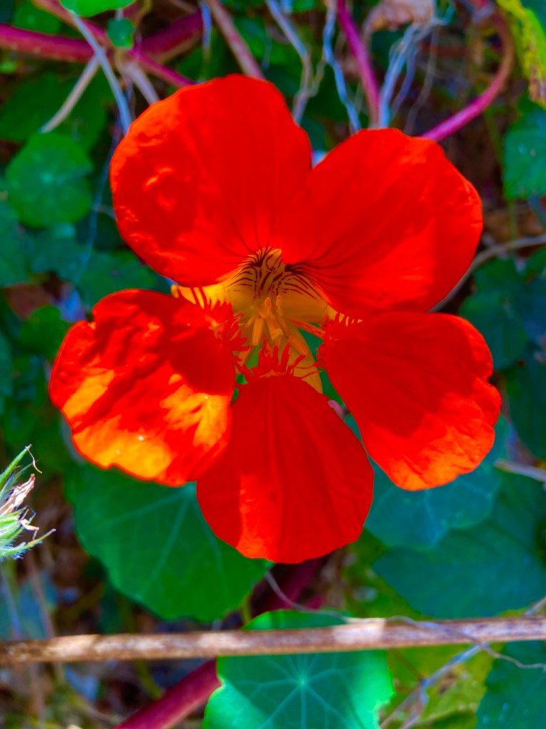
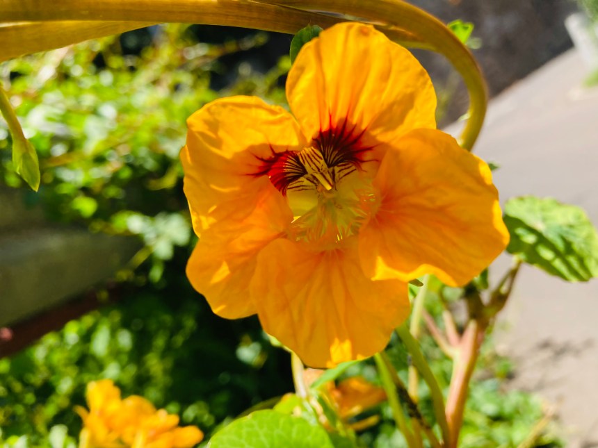
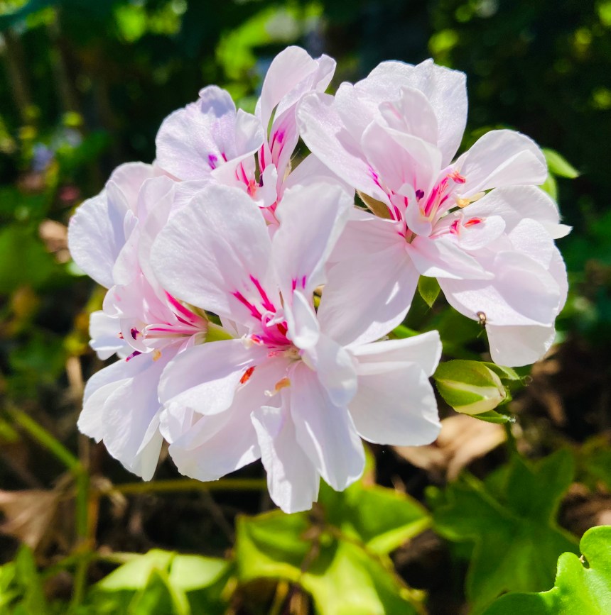
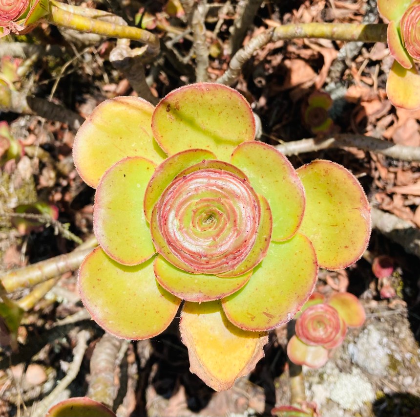
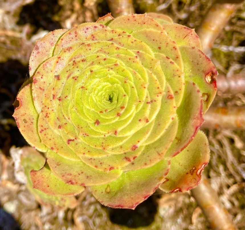
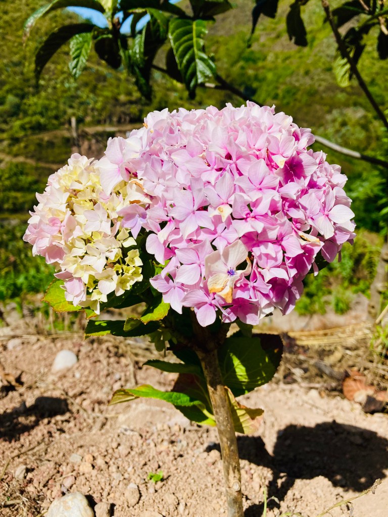
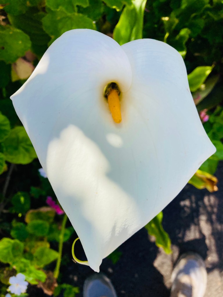
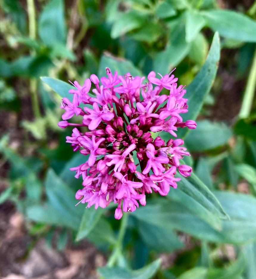
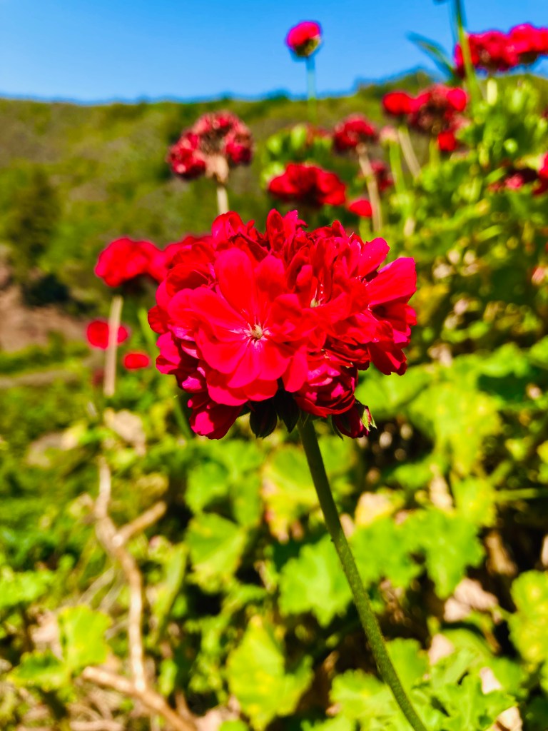
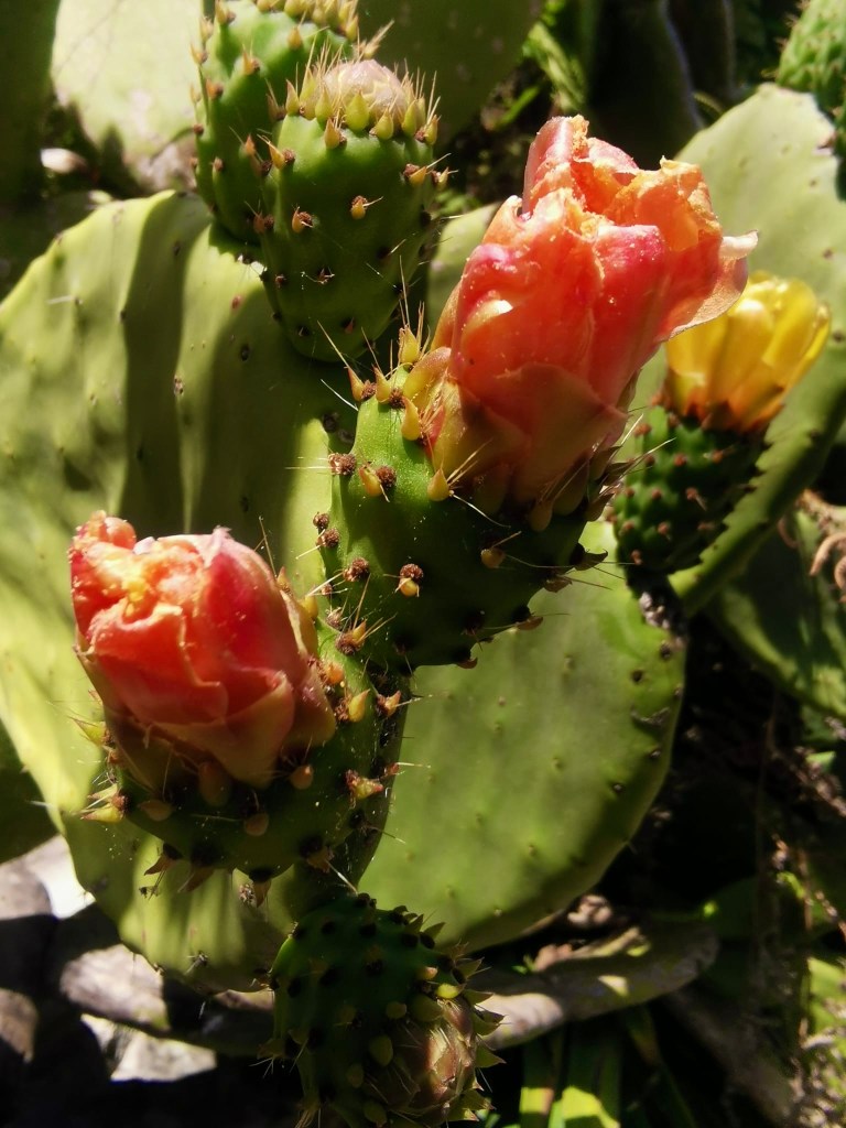
I love hiking in spring and summer in Gran Canaria. The hills are covered in flowers and in fruit.


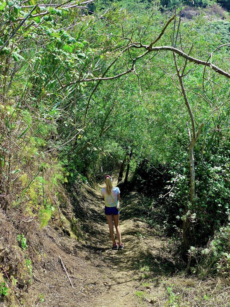
The Loop: The Long Road Home
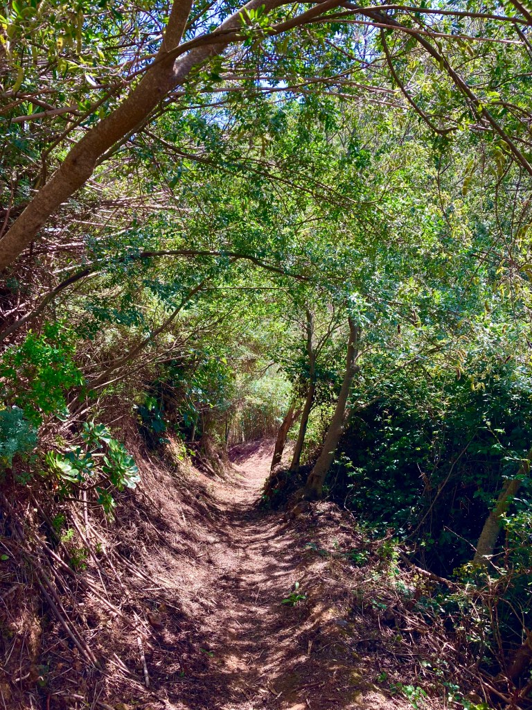
It was a hot day and the climb was rough. The path down was much better because it was in the shade. We walked a field of ferns and then we went into a small tree/bamboo tunnel. I appreciated how green it became compared to the cacti on the way up. It was just a long calming slope, and I enjoyed listening to music. It took about 1 hour and 30 min to get back to town. I am super glad that we went that way down because going down a steep hill like that hurt my legs a bit and I can’t imagine what would have happened if we went down the steep way. But most of the people we saw went the opposite way, so who knows.